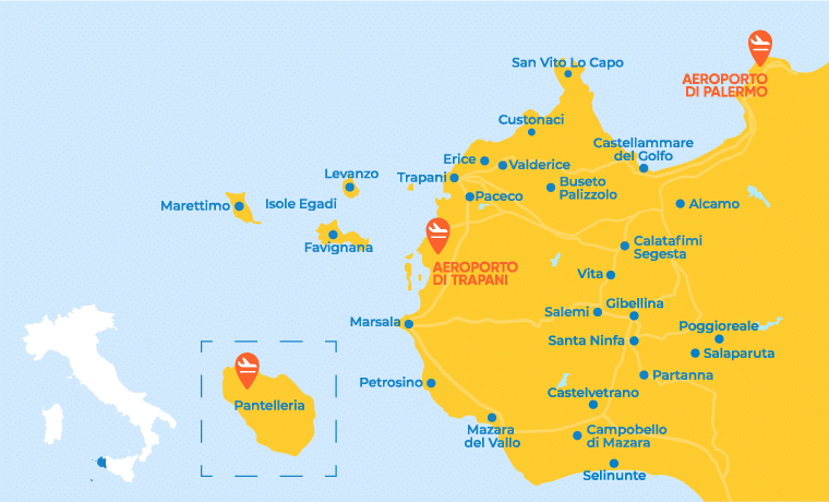
The municipality of Custonaci has been included in the SentieroItalia CAI project, a near-7000-km-long trail that connects all the regions of Italy, to encourage the discovery of the beauty and charm of their inland areas.
Two of the legs are located in Custonaci, both of great cultural and landscape value:
Erice – Custonaci: the second leg in Sicily, it is average in length and has an intermediate altitude difference, almost exclusively downhill.
The trail route of this leg passes some important cultural points of interest, such as the Quartiere Spagnolo (693 m), Porta Castellammare (665 m) and the 11th-century rock church of Sant’Ippolito (490 m), and crossing Via Erice, a path leads to the rock church of Santa Maria Maggiore (445 m). Following the CAI signposts, the route continues to the right downhill towards Bonagia via the Sentiero Partrasprà, through dense Mediterranean scrub up to Baia di Cornino, towards the Parco del Cerriolo and on to the centre of Custonaci, where you can admire the splendid facade of the Santuario di Maria SS.di Custonaci (180 m). The area around Custonaci is an important area for the quarrying of stone material, such as the famous “Libeccio Antico”, the quintessential Baroque stone, and the more recent “Perlato di Sicilia”.
Custonaci – Macari: this leg is average in length and has minimal altitude difference.
From the Santuario di Maria SS. di Custonaci (180 m), head to Portella del Cerriolo (158 m) and the park of the same name. An old mule track, which winds its way past picturesque caves and rock shelters, leads to the village of Scurati and the Grotta Mangiapane (56 m), one of the most important caves in the Trapani area. About 70 m high and 50 m deep, it has been inhabited by humans since the Upper Palaeolithic and was home to the Mangiapane family until the early 1950s.
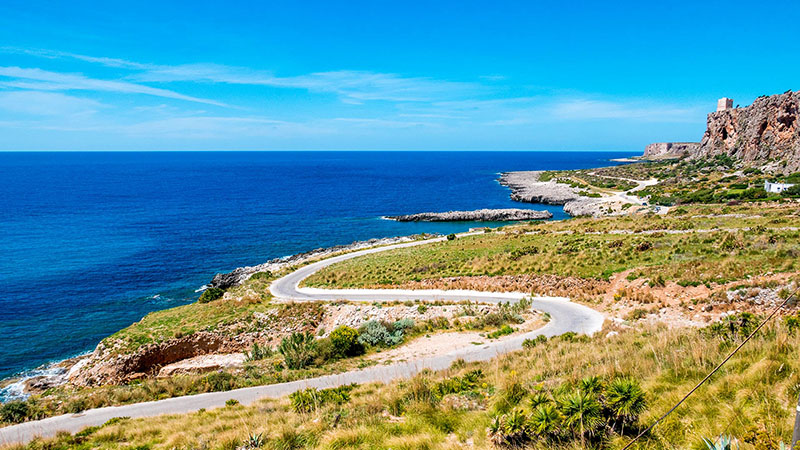
The route continues north towards Monte Cofano, the nature reserve of which is temporarily closed so there is a diversion from the standard route to Gorgo Cofano, a small natural pond of karst origin (253 m). From the Tuono plain, the route follows the coastline on rough ground in a north-easterly direction towards Macari, crossing the entire Golfo di Macari and the sandy bay of Santa Margherita, where you can enjoy beautiful mountainous scenery. The area is mainly covered by Mediterranean grasslands and scrubland, making the Golfo di Cofano a natural and spectacularly beautiful amphitheatre of continuity between land and sea.


